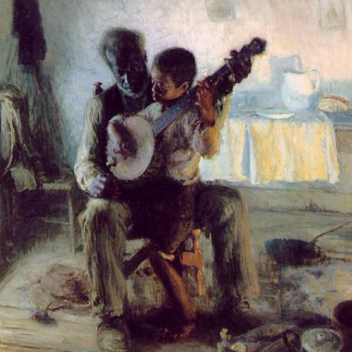
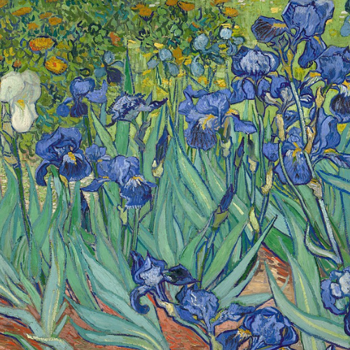
The final project for World Art History 1200-present (Duke Summer Session II, 2021) asked students to construct a StoryMap using ArcGIS Online to explore the geospatial interconnectedness of three works, including one work from the Nasher Museum of Art. The purpose of this assignment was to compare and contrast these three works by telling their individual stories and placing them within a common context, using the following questions to guide their research:
- Where do these works come from originally? Where are they located now?
- Who created these works? What traditions and subjects are they working with and/or referencing?
- What materials have been used to create these works? Where did those materials originate?
- What was the original function of the work? Where would they have been used/displayed and why?
- How are these three works connected geospatially?
Students took a number of different approaches to exploring the connections among their three chosen works. On this page, you can explore a selection of the students’ final projects (shared with student permission).